Description
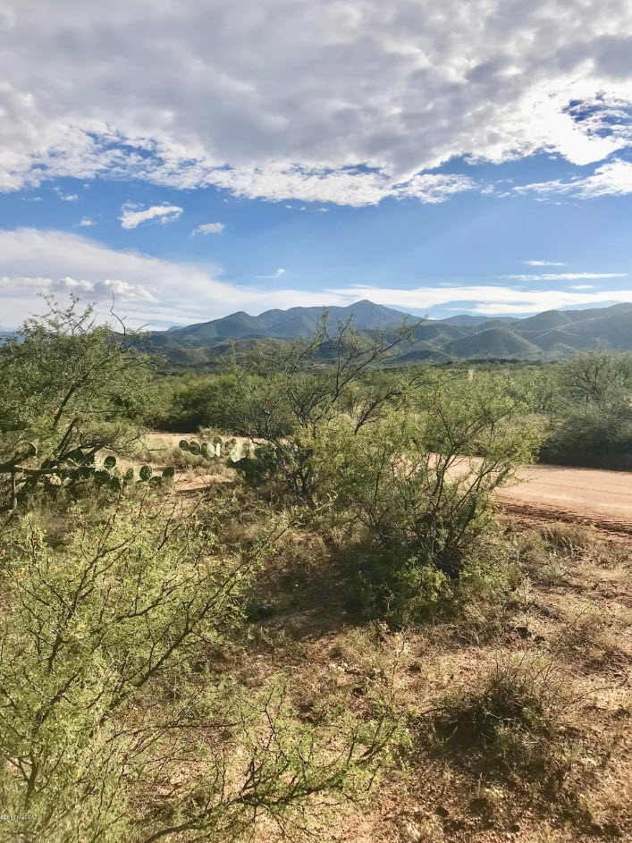
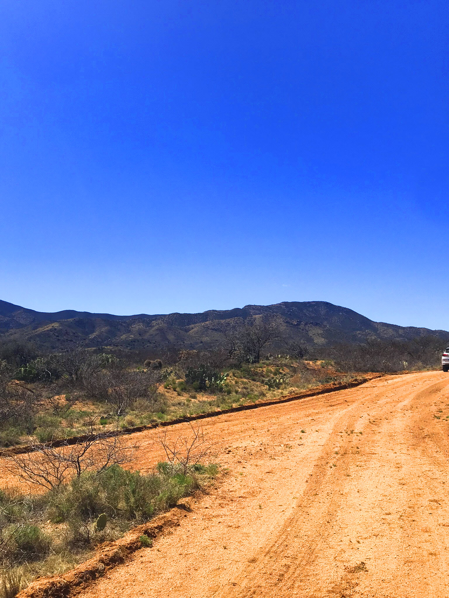
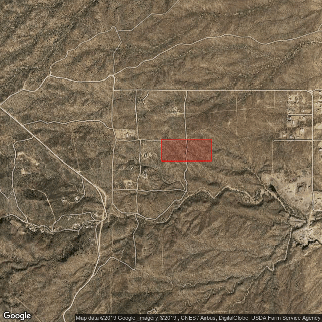
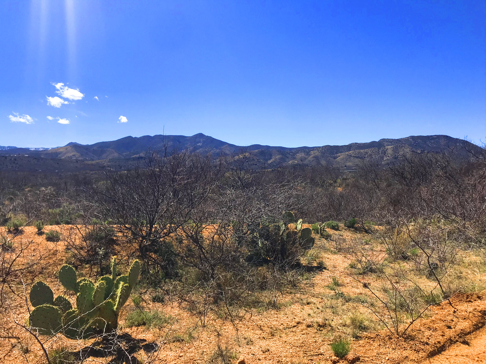
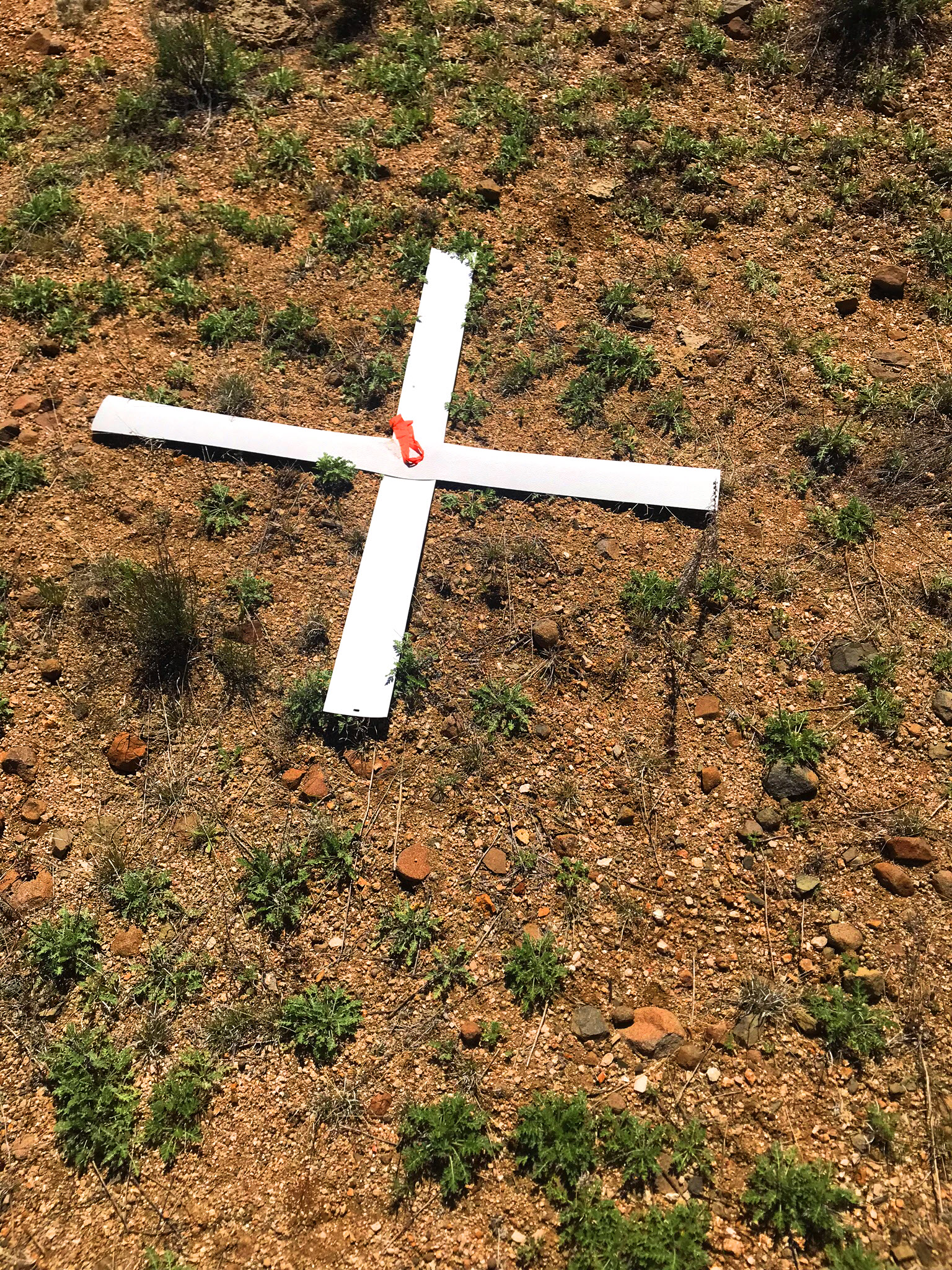
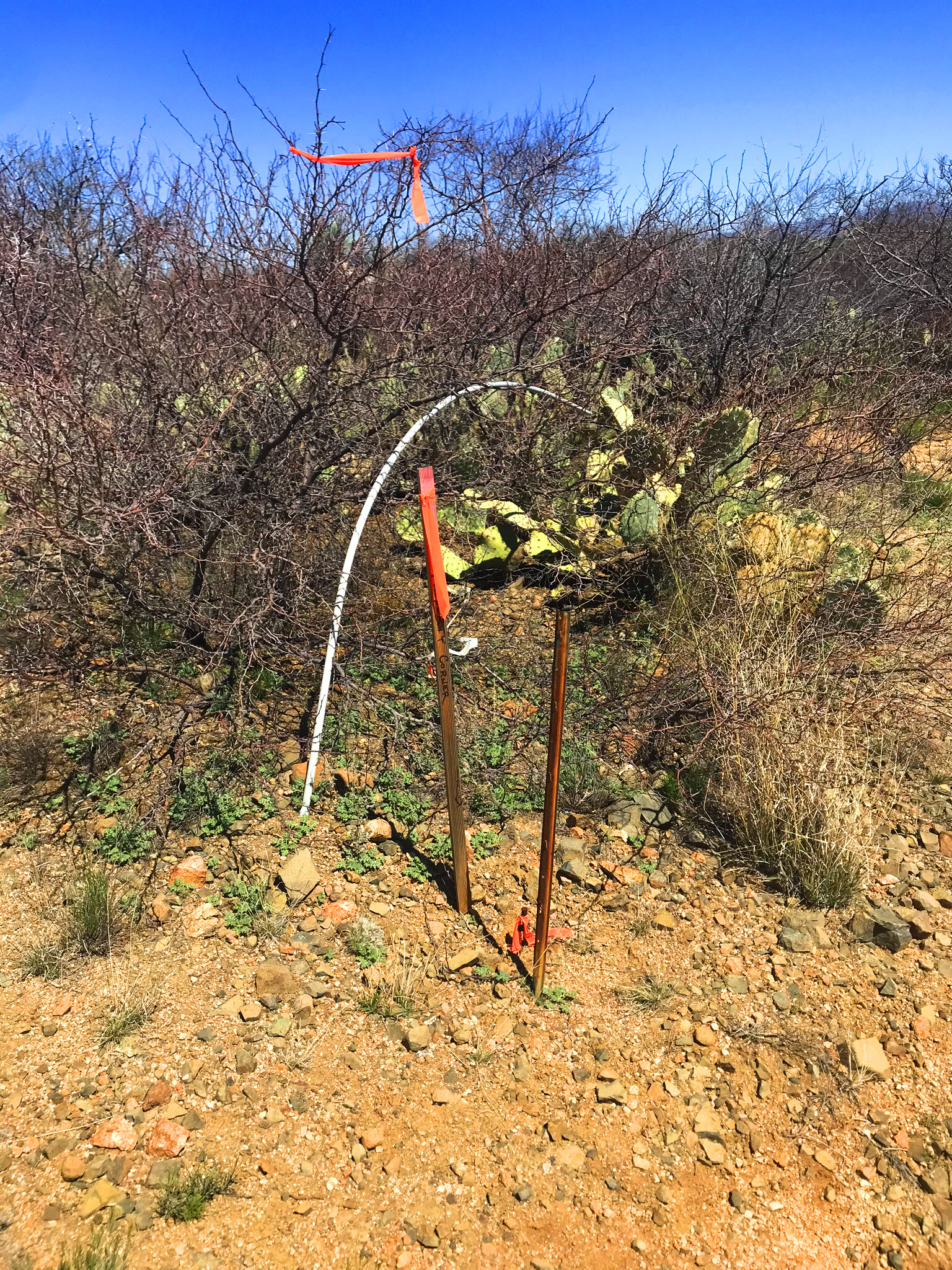
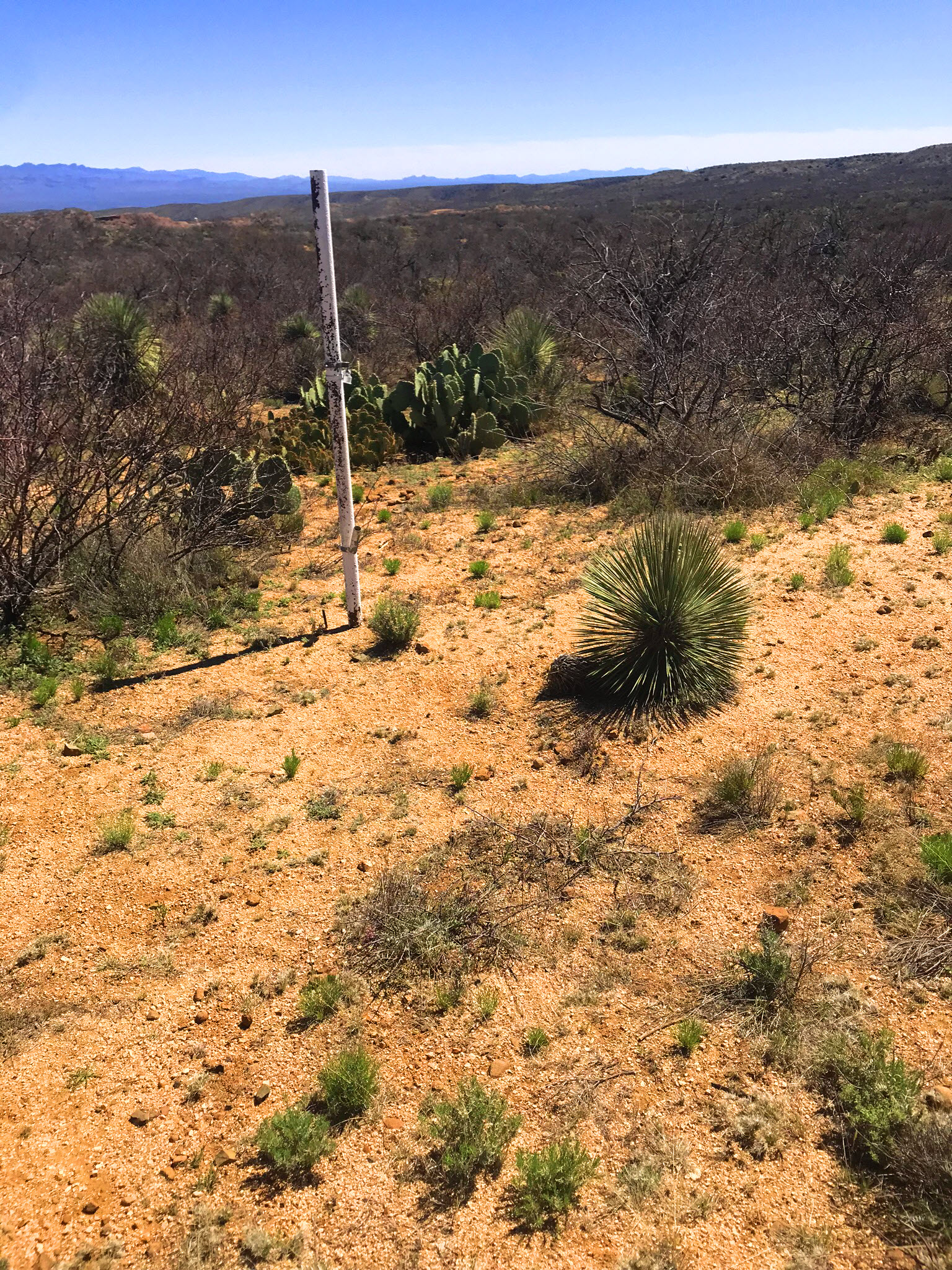
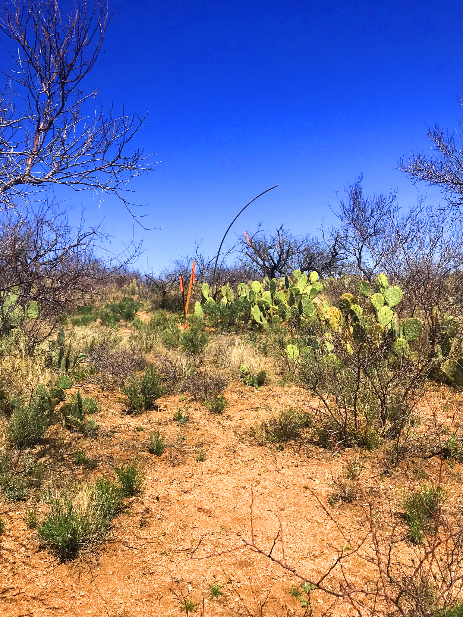
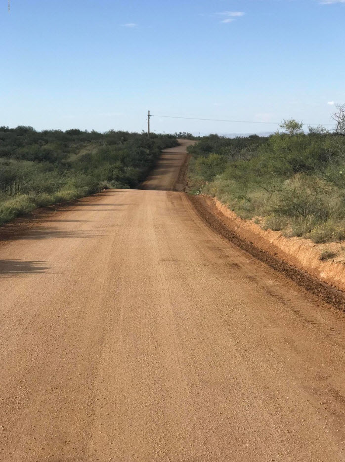
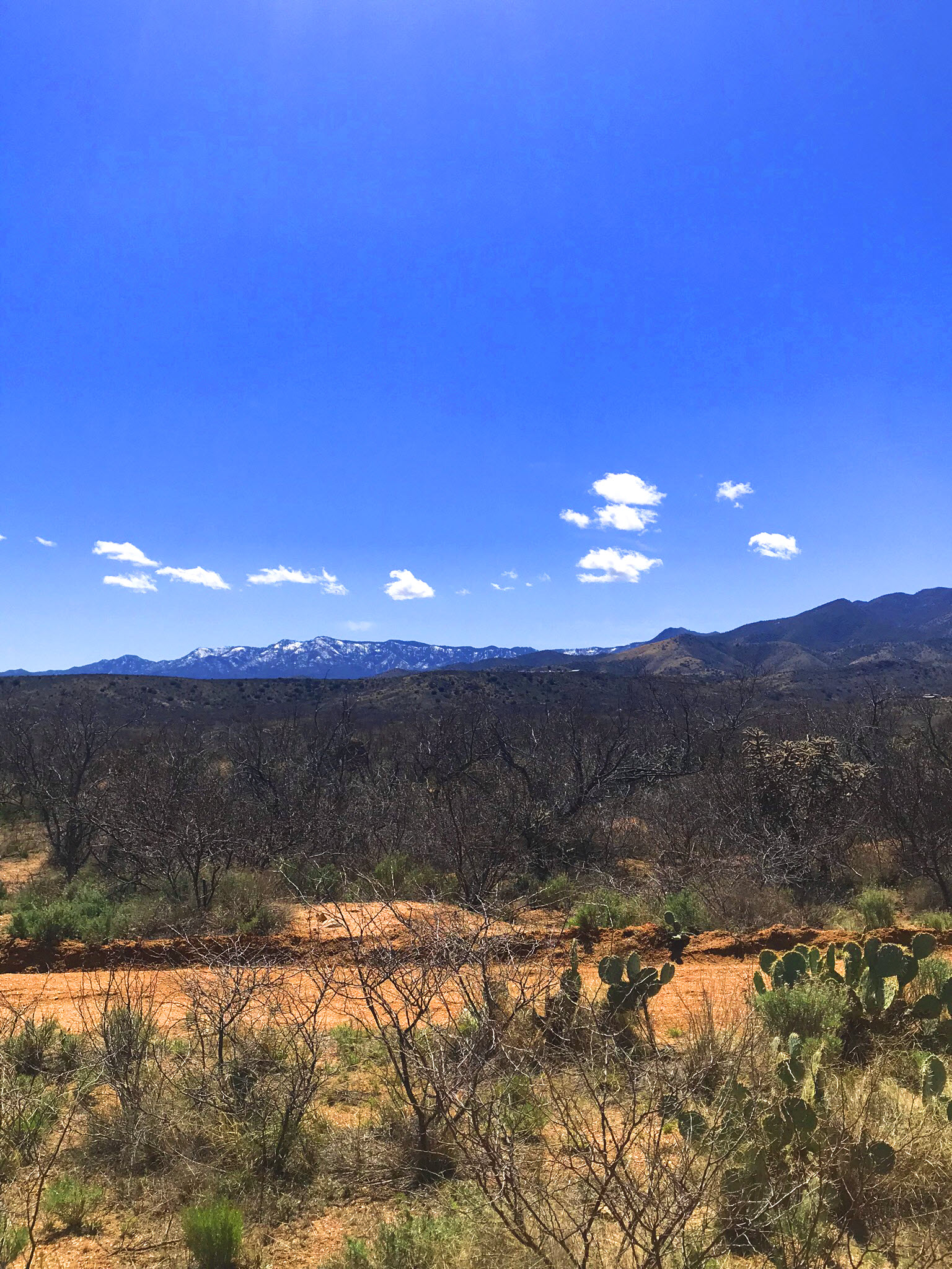
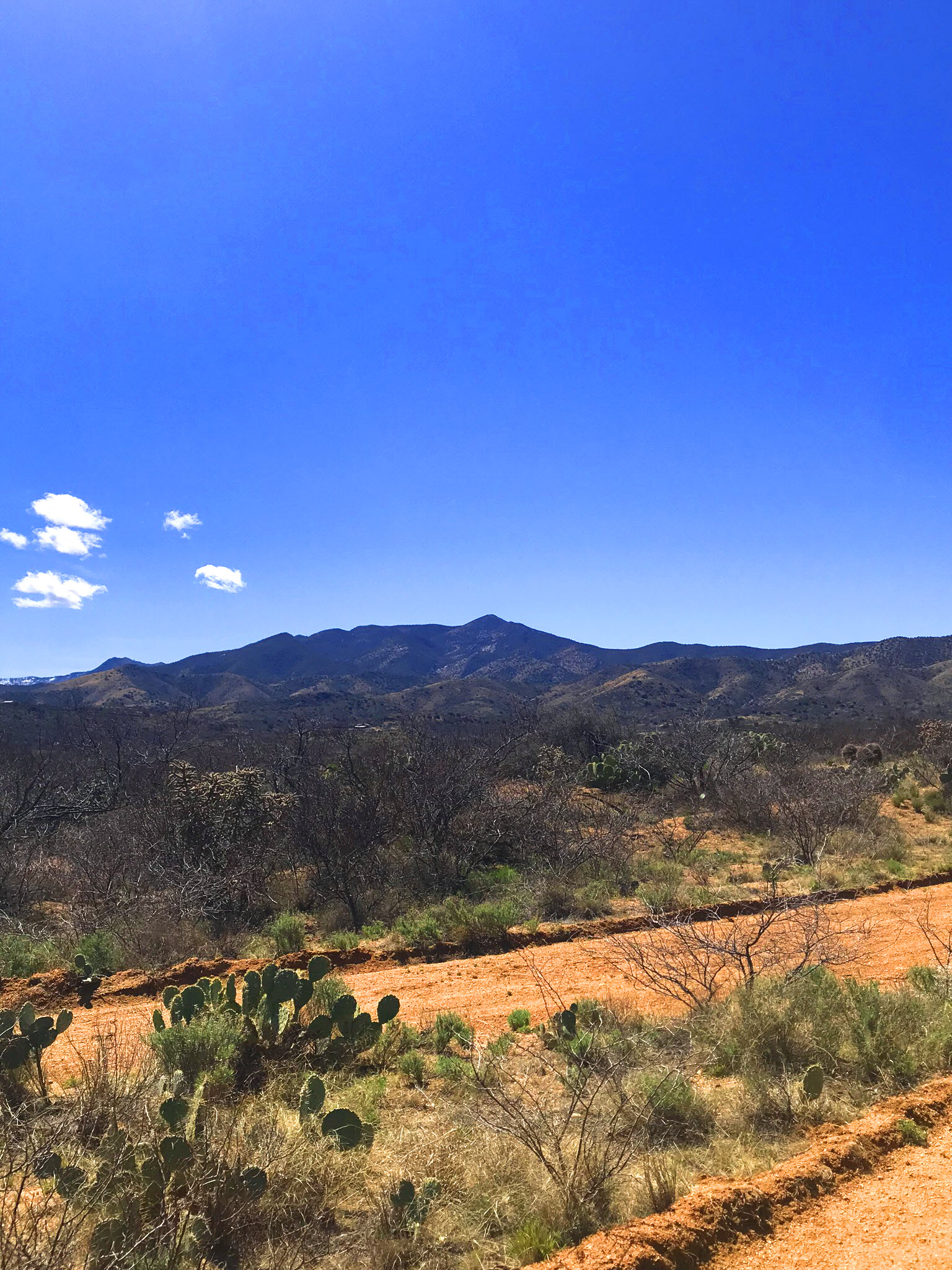
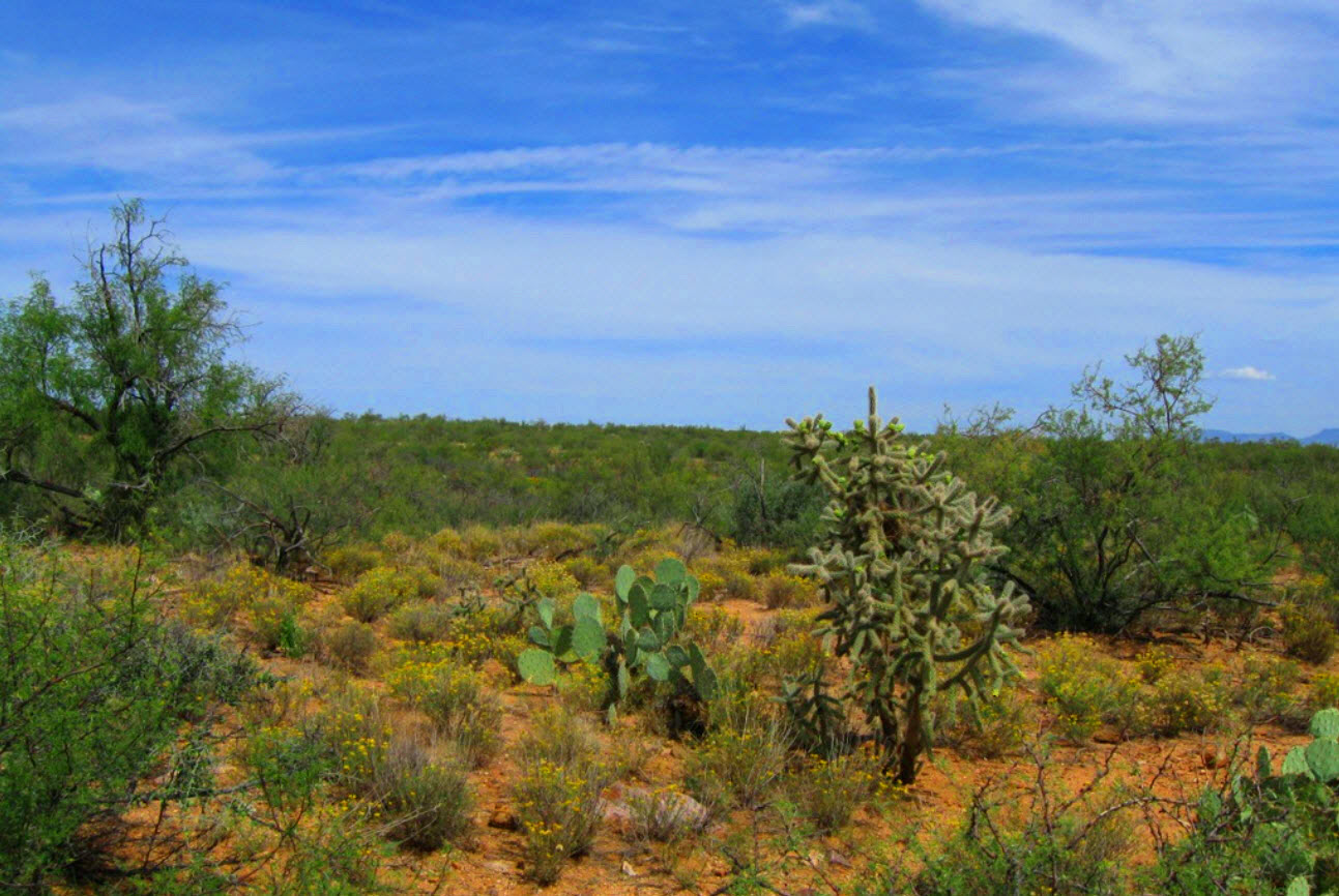
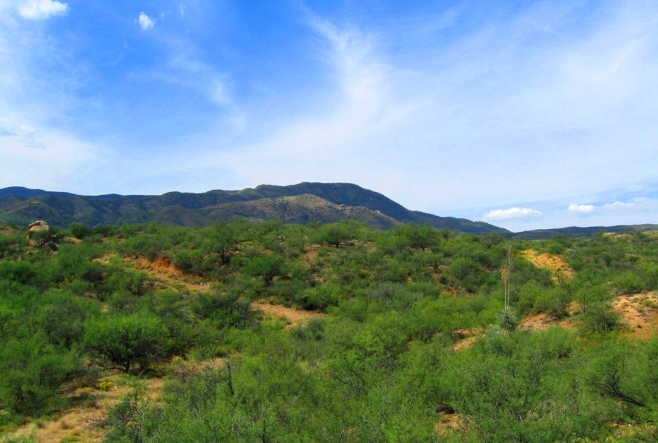
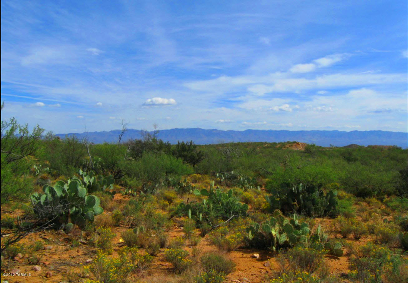
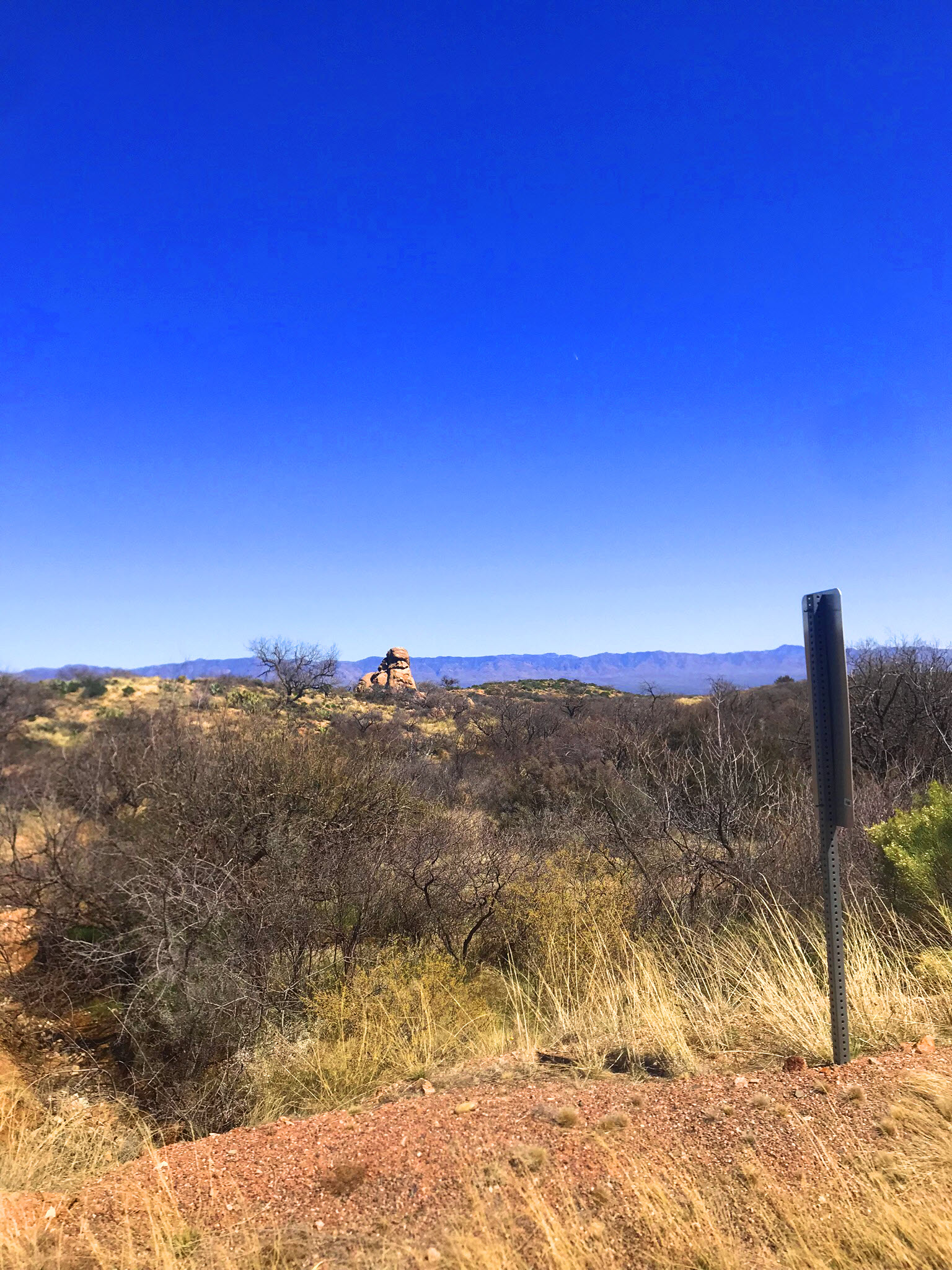
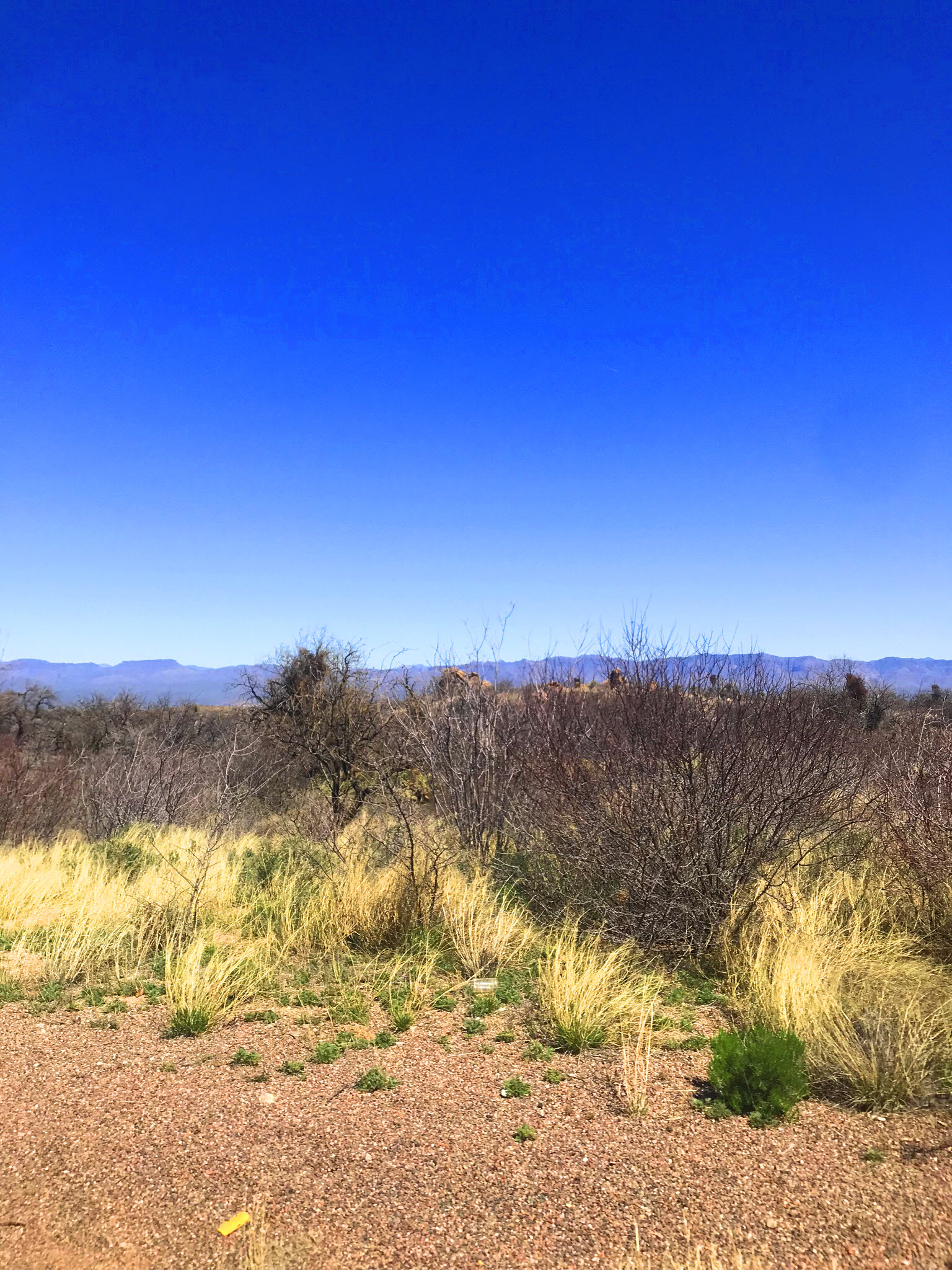
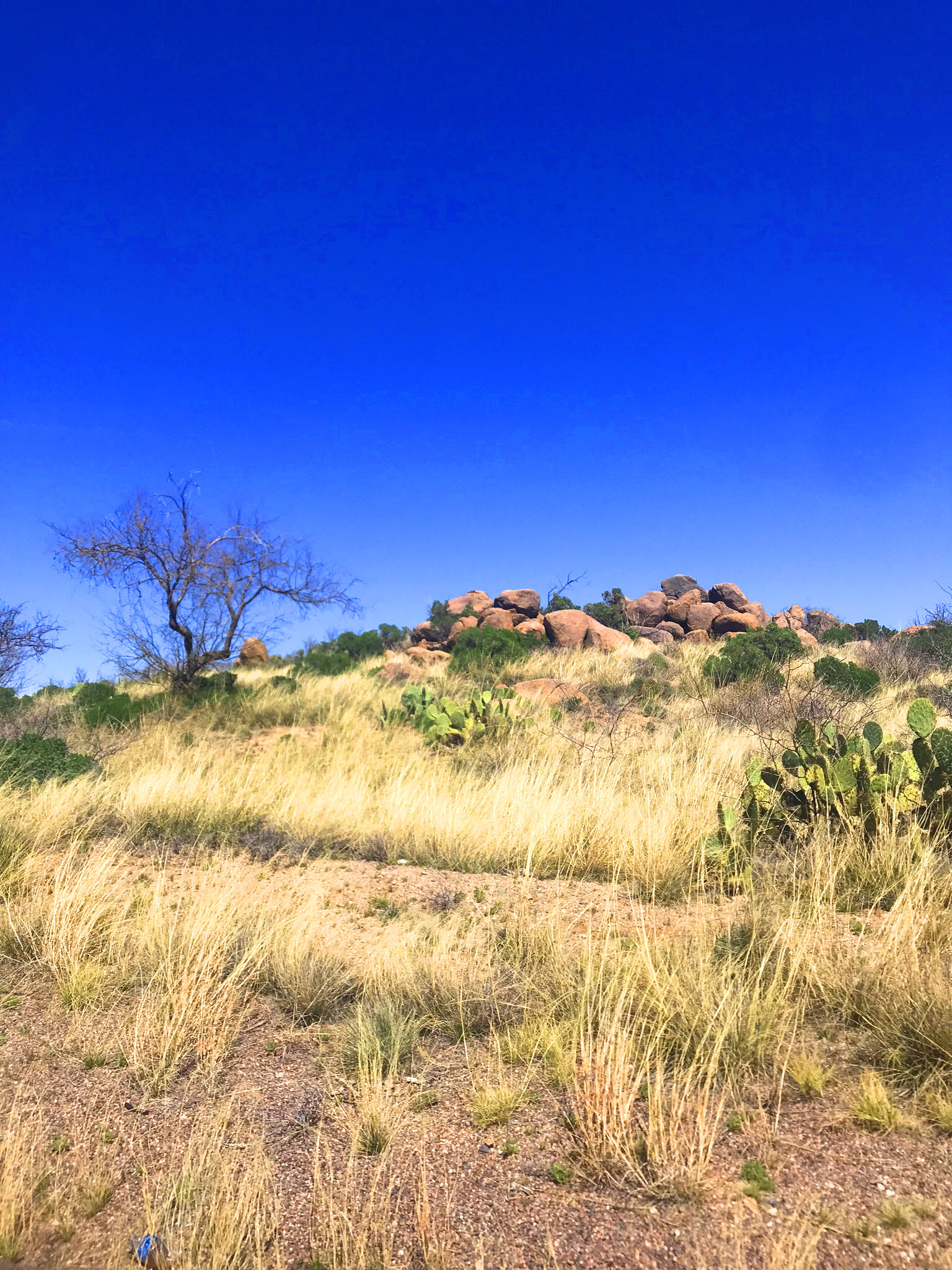
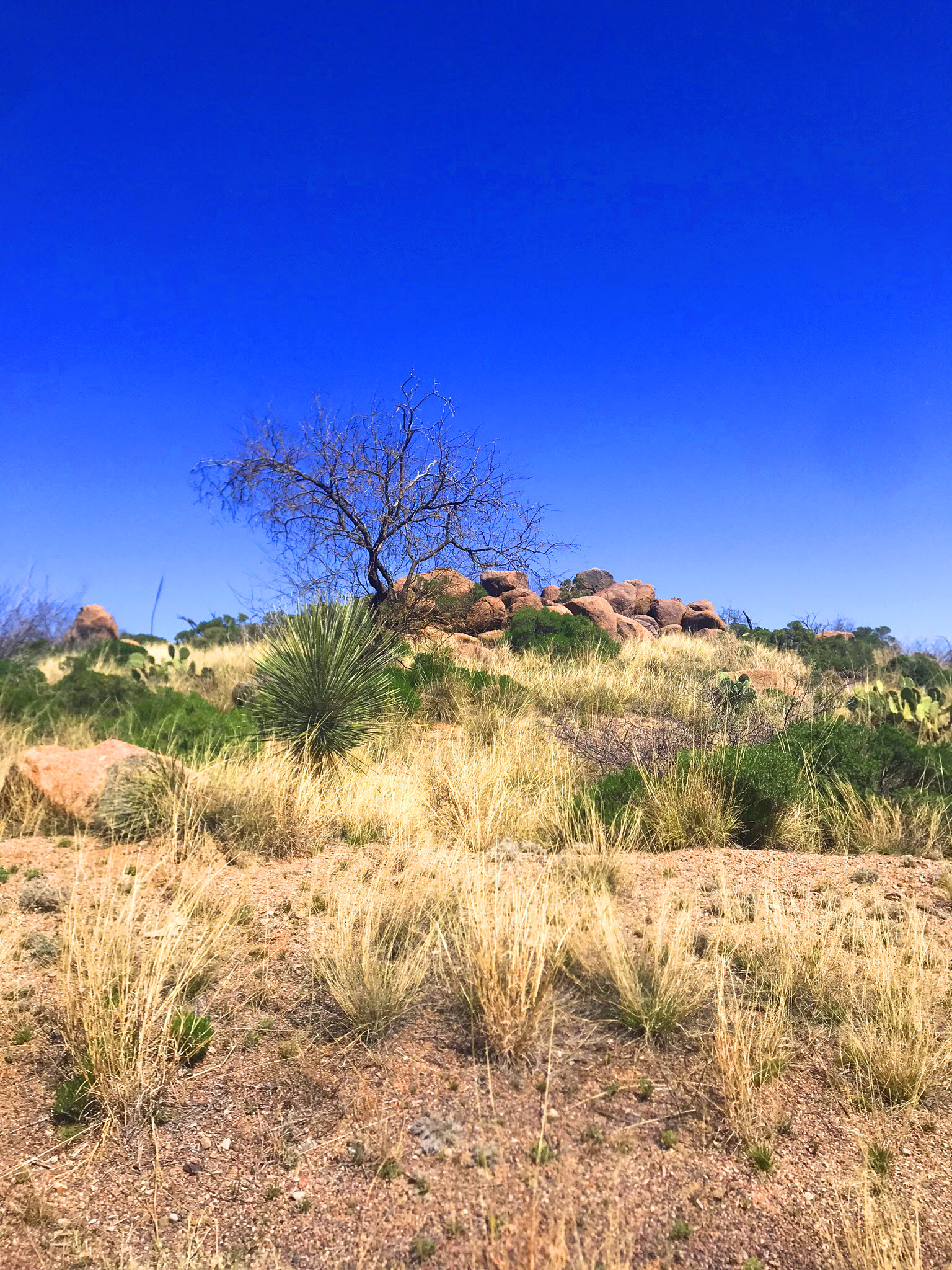
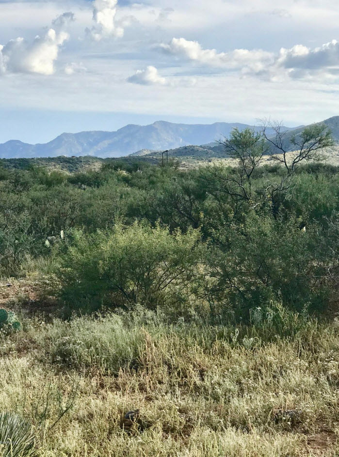
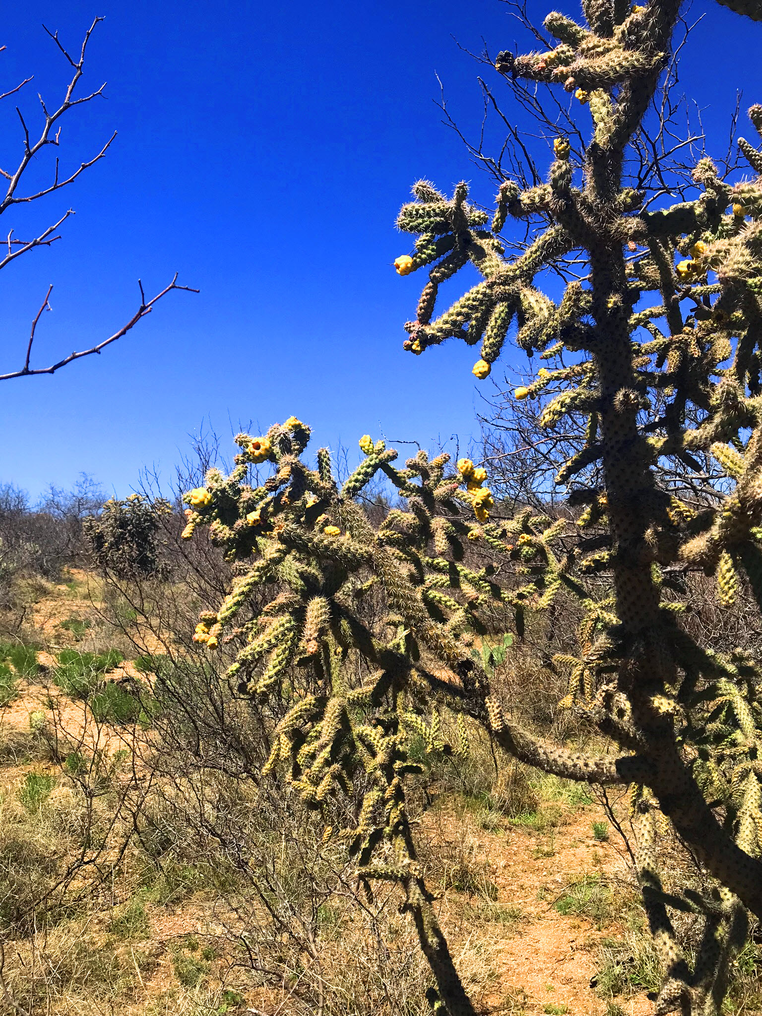
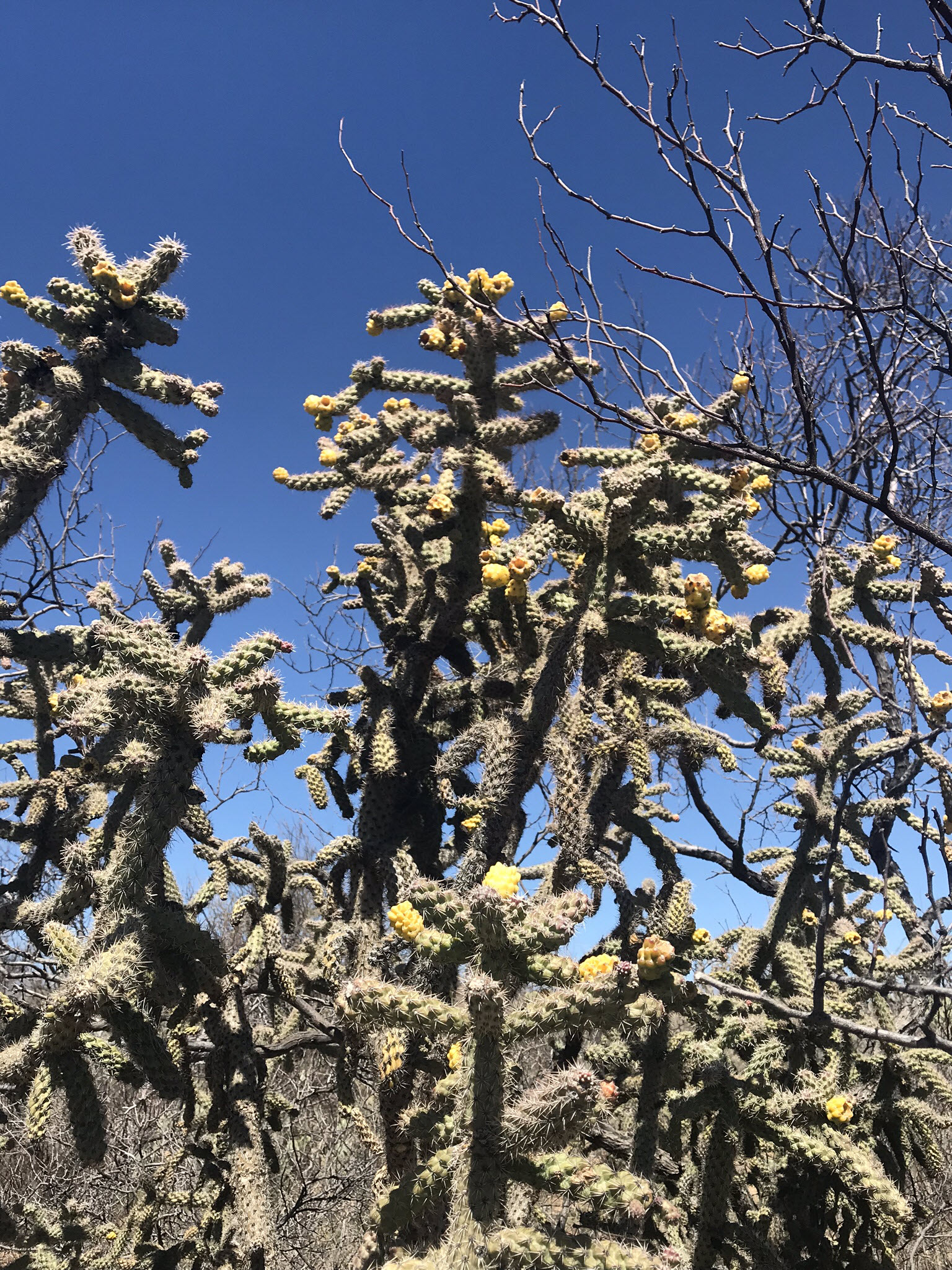
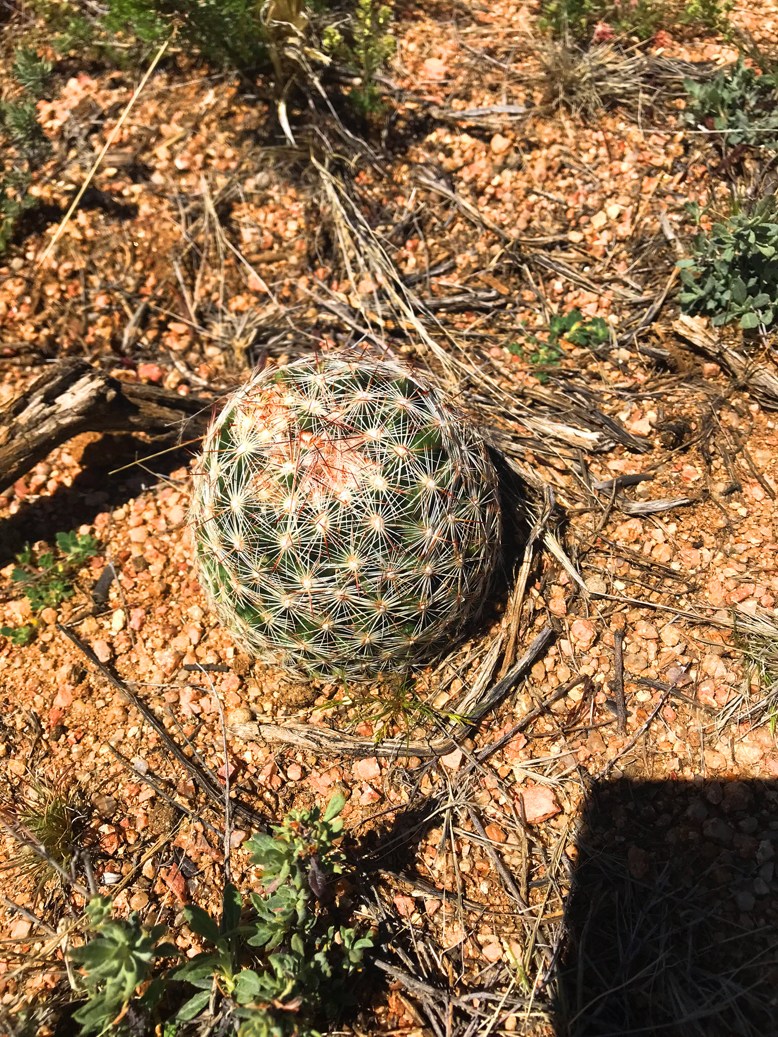
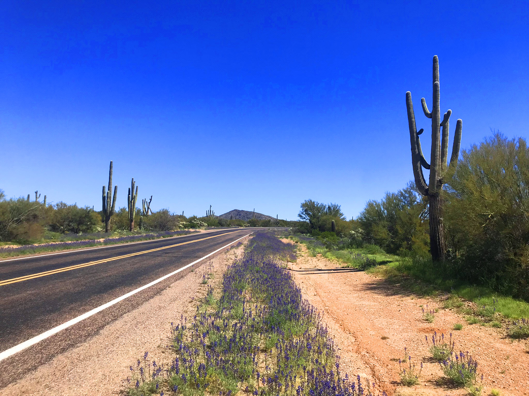
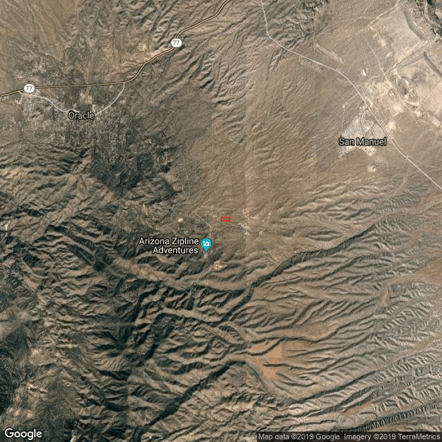
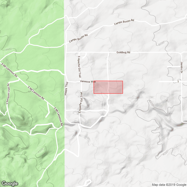
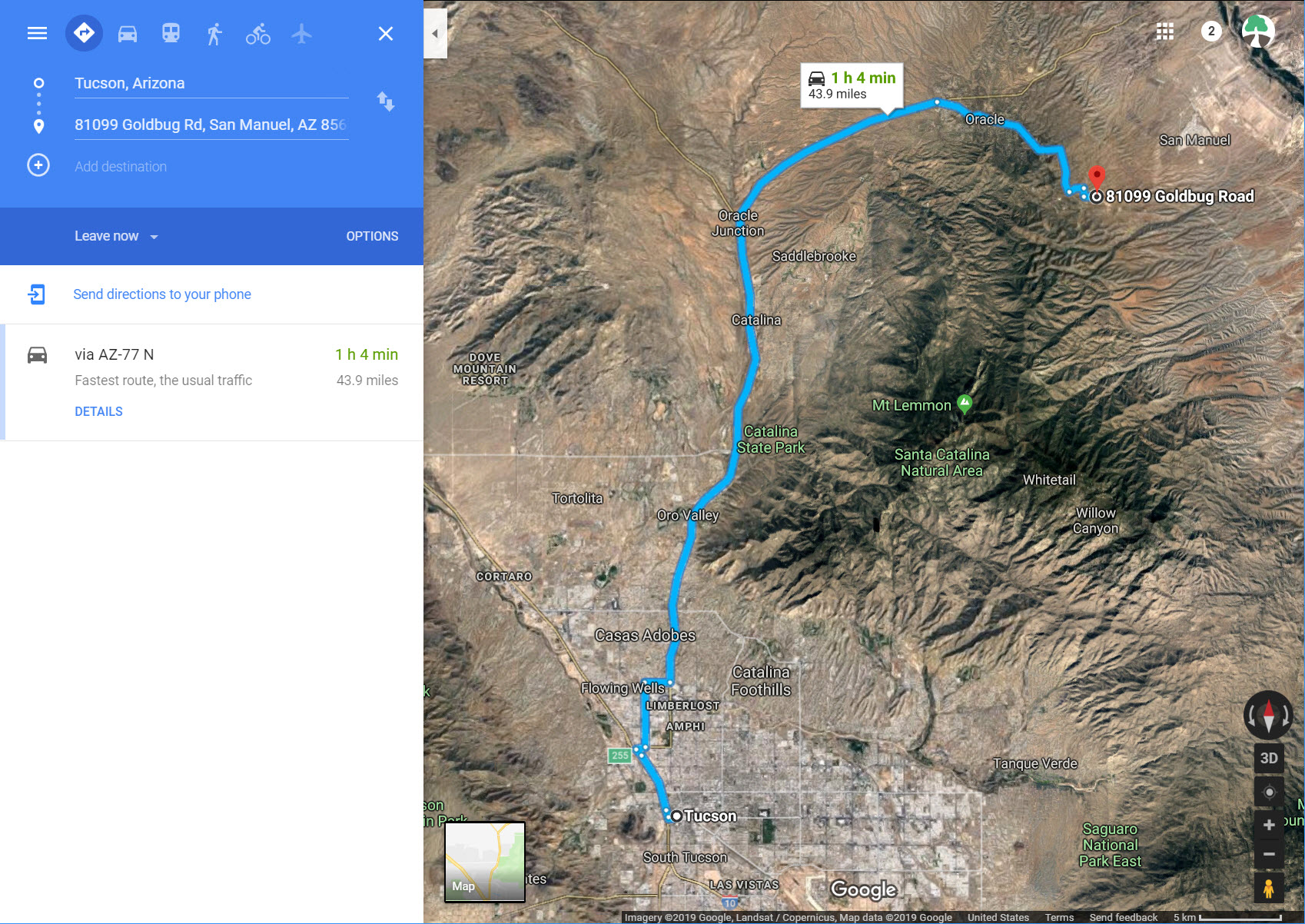
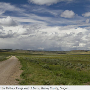
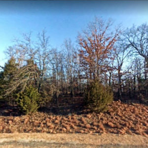
16.00 acres of horse lovers dream property with 360 degrees of views. Surrounded by upscale horse farms and ranches. Property has multiple areas to build your dream home, or a manufactured or mobile home. Well in place, with underground electrical on the property. Plenty of room for corrals, barns, sheds or RV. Bring the toys! Horse riding, bike riding and walking areas abound in this natural high desert setting. Easy access to main roads and 30 minutes to Tucson shopping, stores and medical. Nice piece of property and it is priced to sell. Property has been surveyed and staked with preliminary plans for subdividing into 4 acre lots. Survey plans will be provided at purchase.
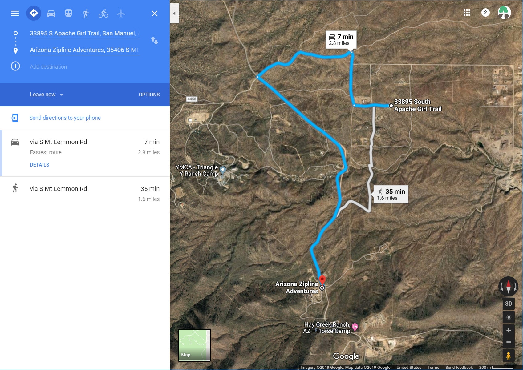
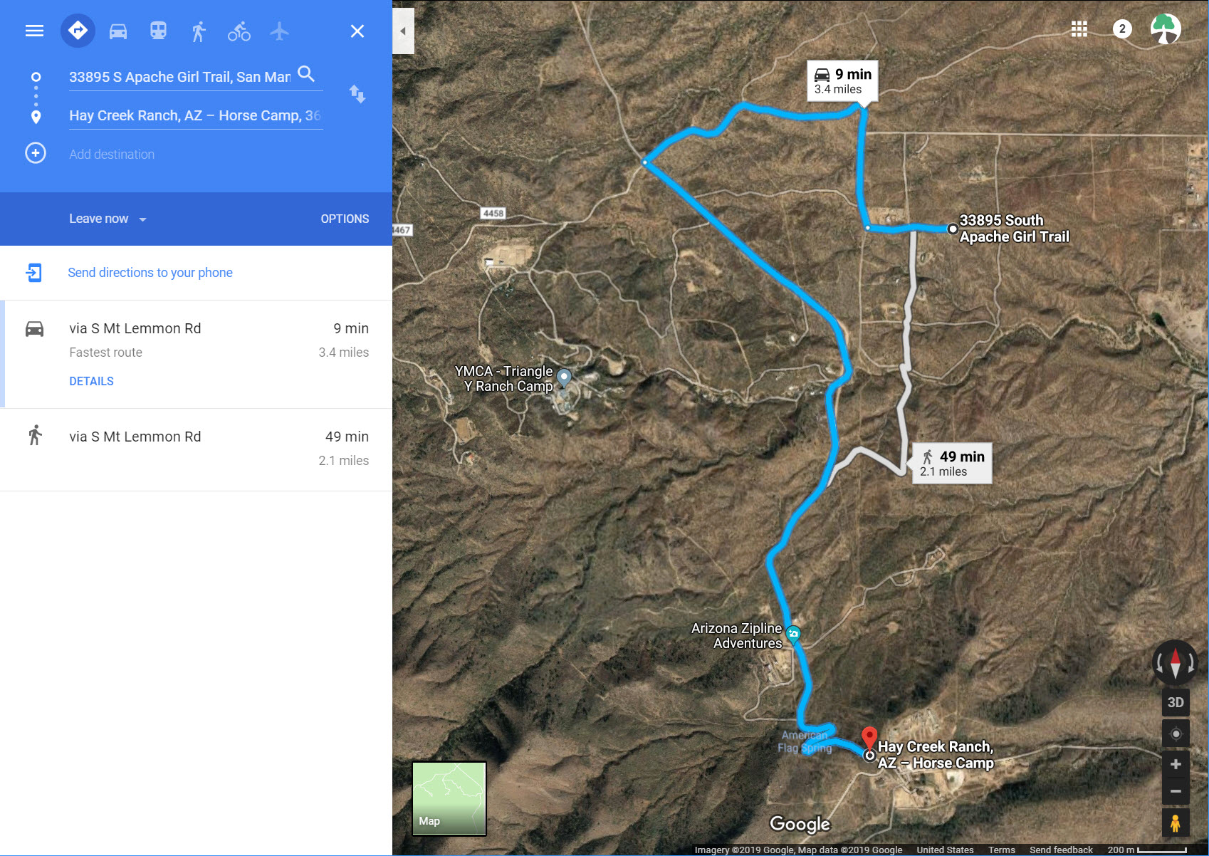
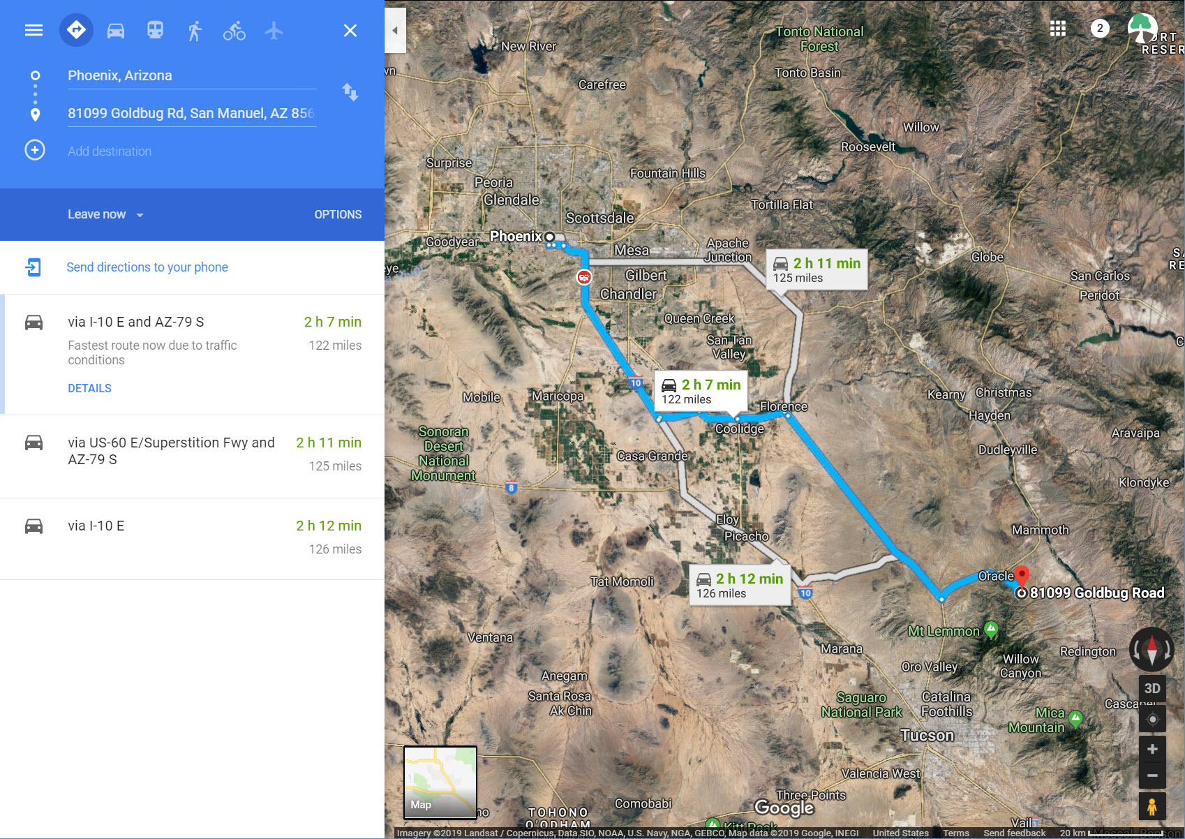
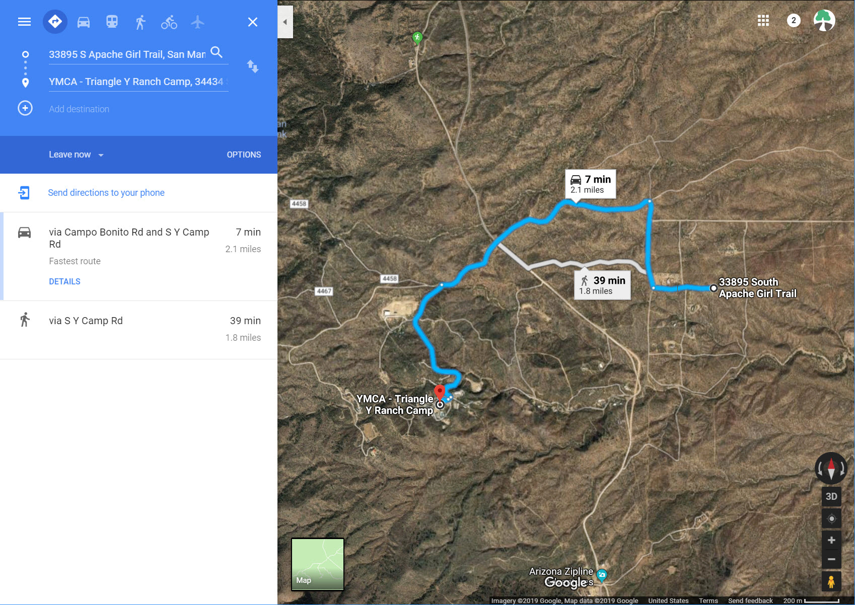
Driving Directions: 0 Vanessa Way, San Manuel, AZ 85631
Property Details
Parcel Number: 307-12-043a
All Cash Price $117,000
Owner Financed Price: $5,000 down and $1,000 every month for 198 months. (Total= $198,000)
Available Financing: Click Here To Read About Financing Options
Closing/Doc. Fees: $0.00 No doc. fees on this one! Most land dealers charge $199 – $600
Type: Vacant Land
Location: Oracle, AZ
Country: United States
State: Arizona
County: Pinal
ZIP: 85631
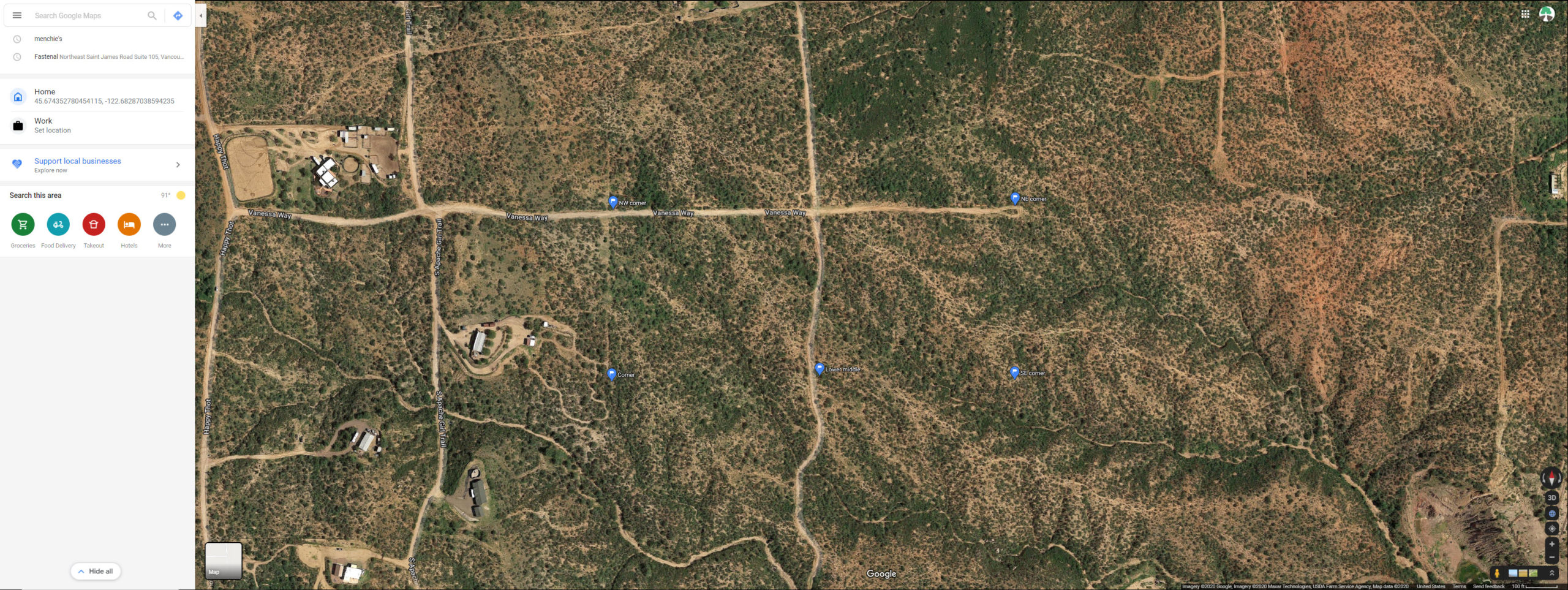
GPS Corner Coordinates:
32.5665717887549,-110.701397947568
32.5665763147513,-110.699251795055
32.5665807337696,-110.697139099842
32.568137284424,-110.697145902064
32.5681414476394,-110.701403786186
32.568036974421,-110.701403399635
32.5671285155601,-110.701400040121
Power: Power box on property
Sewer: Septic or alternative system
Water: Capped well on property. Well Registration Number 55- 575530 Well Depth (ft) 400 Water Level (ft bls) 280
Casing Depth (ft) 400 Casing Diameter (in) 4 Casing Type B – PLASTIC OR PVC
Intended Capacity (GPM) 20 Cadastral D10016015BDA. (I believe the well was drilled in 2000)
Well Driller Contact: High Desert Water Drilling Ltd
Well drilling contractor in Oracle, Arizona
Address: 394 N Cody Loop Rd, Oracle, AZ 85623
Phone: (520) 896-2750
Title: Will be conveyed from Vacant Land Guys LLC
POA/HOA Fees: None
Taxes: $1607.72 (From Parcel Fact)
Contract: Cash Sale or Terms
Size: 16.00 Acres
Legal Description: COM @ NW COR OF SEC 15-10S-16E TH S-1322.60 TH E-1320.32 TO POB CONT E-1320.32 TH S-527.86 TH W-1320.40 TH N-527.86 TO POB 16 AC AKA LOTS A & B BK-14 OF SURVEYS PG-121
General Elevation: 4,287 ft.
Zoning: Residential
Roads: Dirt/Gravel
We make it super easy to own land. We accept credit cards, bankwire transfers, cashiers check, and money orders. Buy property on our website with a credit card.
Find out about our newest deals before they’re posted here. Join our VIP Buyer’s List today!
Like the property but not the price? Contact us today to discuss the possibility of a Terms Sale (Down Payment + Installment Payments).
Disclaimer: While Vacant Land Guys does extensive research on all our properties prior to listing them, there are always County-specific rules/regulations we will not be aware of. The information provided on this page is, to the best of our knowledge, correct. All prospective buyers, however, are encouraged to contact the county at the links and numbers provided in this table to confirm that whatever plans that buyer has for the property in question are in fact legal, feasible and permitted. Due diligence is the buyer’s responsibility and all sales are final. Pictures may be of the area and not the actual property. Everything we know about the property is in the listing.

